
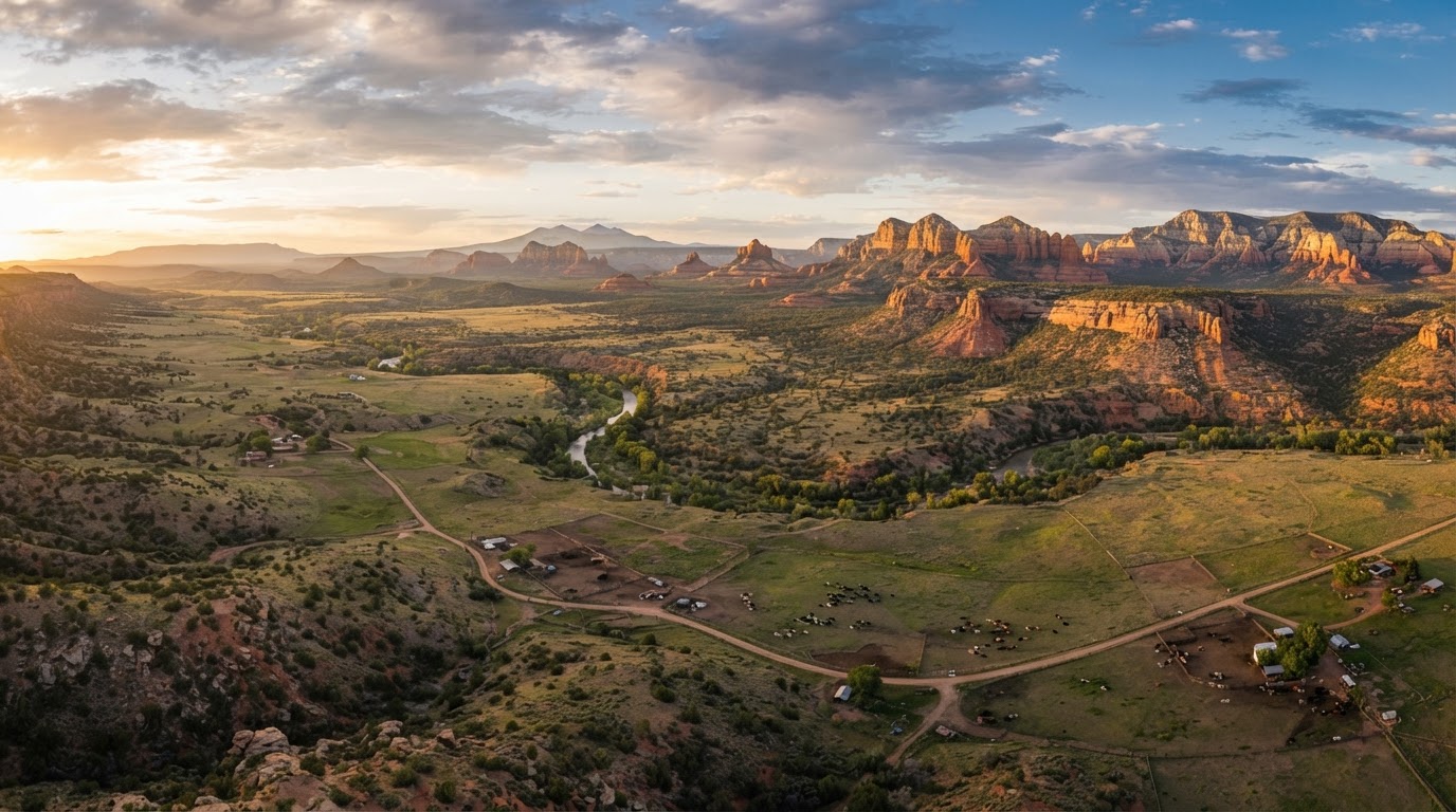
Flood zones & drainage on vacant land
A parcel can be beautiful and still sit in a floodplain. Learn how to investigate flood zones and drainage, why it matters for buildability and insurance, and where to verify the official maps.
Overview
Flood risk is a parcel-specific factor that affects buildability, insurance, and value. A parcel can sit partly or entirely within a mapped floodplain, and drainage, even outside a mapped zone, can direct runoff across a build site. This guide explains how to investigate flood zones and drainage and where to confirm the official maps.
Mapped flood zones
Flood zones are mapped by FEMA and adopted locally. A Special Flood Hazard Area, such as a Zone A or AE, carries floodplain development requirements and may require flood insurance for a financed build. Confirm the flood zone for the specific parcel on the FEMA Flood Map Service Center and with Yavapai County.
Drainage and local runoff
Even outside a mapped floodplain, a parcel can receive runoff from slopes, washes, or neighboring land. Drainage affects where a structure can sit and what grading is needed. A site walk during or after rain, and a review with a qualified professional, helps assess drainage for the specific parcel.
River and wash corridors
Parcels near the Agua Fria River, the Verde River, or area washes can carry floodplain and drainage considerations alongside access and water questions. Proximity to a corridor does not by itself determine risk, but it warrants a closer look. Confirm floodplain status for the specific parcel.
Insurance and financing
A parcel in a mapped floodplain may require flood insurance for a financed build and may carry floodplain development standards. Lenders and the county can confirm the requirements for the specific parcel. Do not assume insurance cost or availability without checking.
Verify with the right authority
These factors are parcel specific. Confirm each one with the responsible agency or licensed professional before relying on it for a purchase or build decision.
- The FEMA Flood Map Service Center for the official flood map
- Yavapai County for local floodplain ordinances and requirements
- A qualified civil or drainage professional for site-specific drainage
Common questions
Start with the FEMA Flood Map Service Center for the official flood map, then confirm the local floodplain requirements with Yavapai County. Drainage, even outside a mapped zone, can direct runoff across a build site. Confirm floodplain status and drainage for the specific parcel before relying on a build plan.
A parcel in a mapped floodplain can carry floodplain development standards and may require flood insurance for a financed build. It does not by itself make a parcel unbuildable, but it adds requirements and cost. Confirm the requirements with Yavapai County for the specific parcel.
Flood insurance is typically required for a financed structure in a mapped floodplain. Vacant land without a structure usually does not require flood insurance, but a planned build may. Confirm insurance requirements with a lender and insurer for the specific parcel.
Find land inNorthern Arizona
Browse available acreage, homesites, and ranch parcels, or ask for help researching a specific property. Demonstration listings are clearly labeled.
Get help researching your property
Request a land consultation and we can help you compare communities, verify parcel details, and connect with a qualified professional.
Request a Land ConsultationKeep learning
Buying Vacant Land
A plain-English primer for buying vacant land in the Prescott area. Learn what makes land different from a house, what to investigate before an offer, and which professionals and agencies can verify the details that matter.
Read the guideLand UseLand Zoning
Zoning decides what a parcel can be used for. Learn how zoning works across Prescott, Prescott Valley, Chino Valley, and unincorporated Yavapai County, and how to verify the permitted use for a specific parcel.
Read the guide