Everything you need to know beforebuying land in Northern Arizona
Explore practical guides, important property considerations, and research tools to help you make informed decisions about purchasing vacant land.
Guides for every step of land research
Land is the most diligence-intensive real estate purchase most buyers will make. These guides explain what to investigate, which professional or agency can verify it, and why each issue matters. Content is educational and general; parcel-specific questions require verification by the appropriate authority.
Getting StartedBuying Vacant Land
A plain-English primer for buying vacant land in the Prescott area. Learn what makes land different from a house, what to investigate before an offer, and which professionals and agencies can verify the details that matter.
Read the guide Land Use
Land Zoning
Zoning decides what a parcel can be used for. Learn how zoning works across Prescott, Prescott Valley, Chino Valley, and unincorporated Yavapai County, and how to verify the permitted use for a specific parcel.
Read the guide Water & Utilities
Wells & Water
Water is the defining question for most Northern Arizona land. Learn the difference between municipal water, private wells, shared water rights, and no water, and what to verify before buying.
Read the guide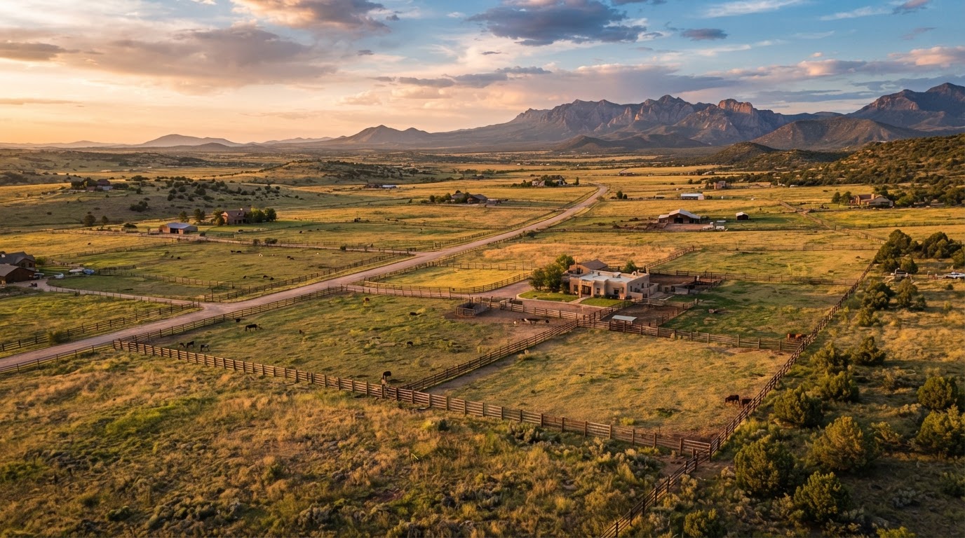 Water & Utilities
Septic Systems
Where municipal sewer is not available, a septic system handles wastewater. Learn how septic feasibility is determined, why soils and setbacks matter, and what to verify before buying land you intend to build on.
Read the guide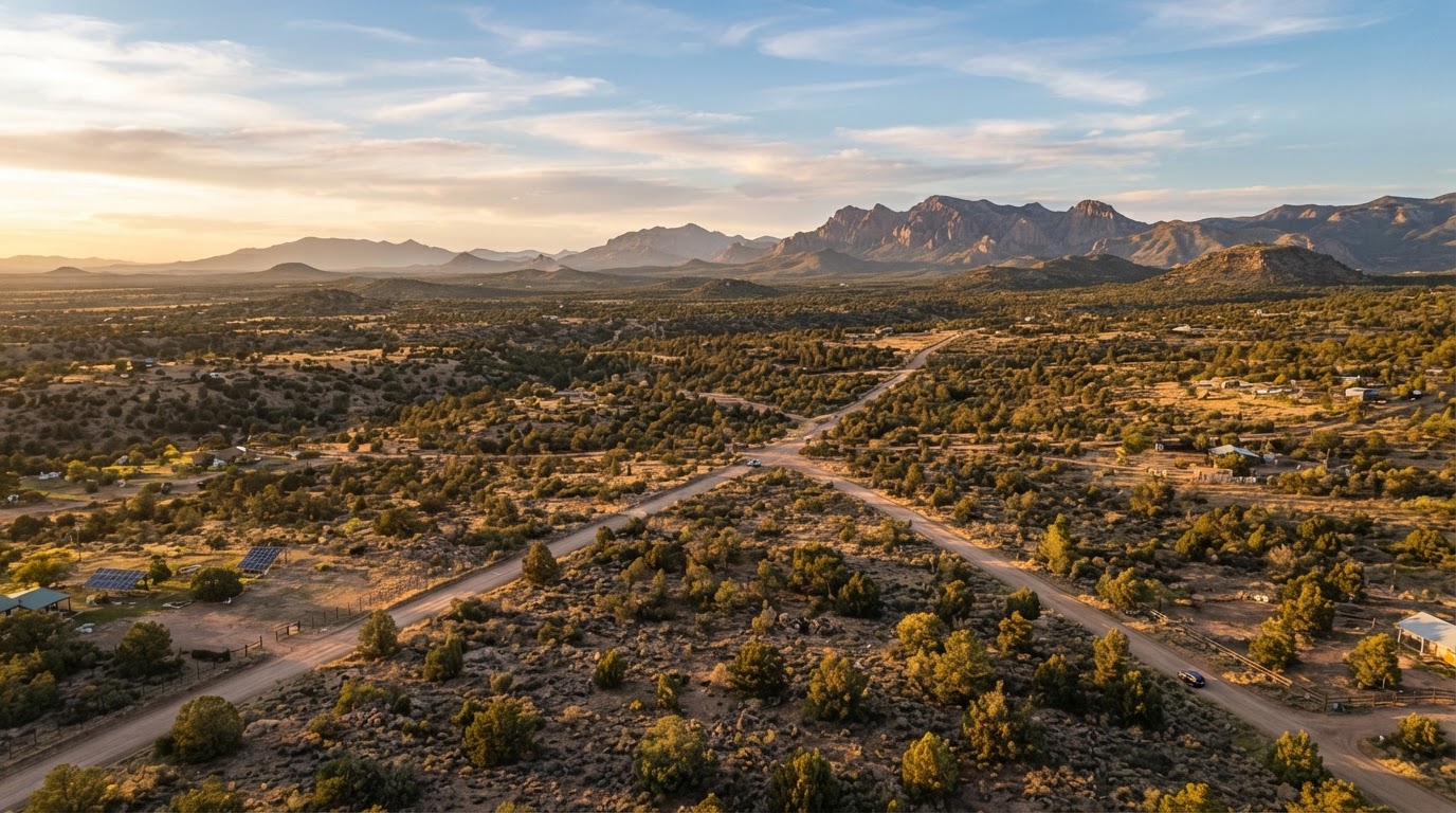 Water & Utilities
Utilities
Power, phone, internet, propane, and the cost of extending utilities can change what a parcel is worth. Learn how to read a parcel for utility availability and what to verify before buying.
Read the guide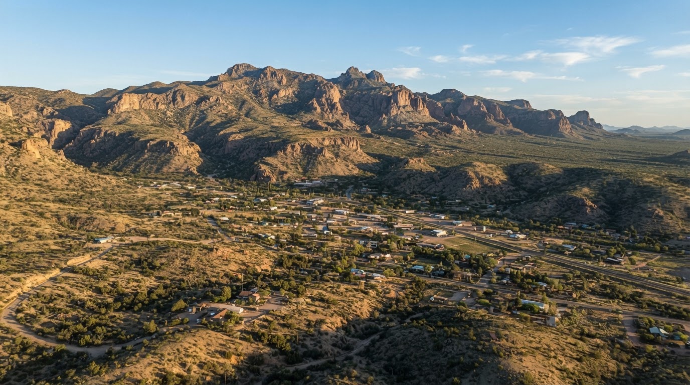 Access & Boundaries
Legal Access
Physical access is not the same as legal access. Learn the difference between a dirt road, an easement, and a recorded right of way, and why legal access is one of the first things to verify on any parcel.
Read the guide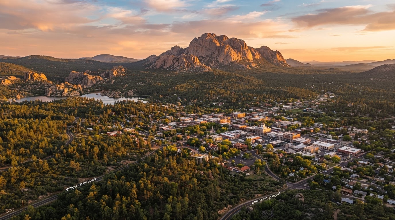 Access & Boundaries
Land Surveys
A survey establishes where a parcel actually is. Learn when a survey matters, what a boundary survey and a topographic survey cover, and why a recorded survey protects a buyer.
Read the guideEnvironmentalFlood Zones
A parcel can be beautiful and still sit in a floodplain. Learn how to investigate flood zones and drainage, why it matters for buildability and insurance, and where to verify the official maps.
Read the guideBuildingBuilding on Vacant Land
Building on vacant land is a sequence of permits and verifications, not a single decision. Learn what to confirm before planning a build, and why buildability can never be assumed from a map.
Read the guideFinancingLand Financing
Land loans are different from home mortgages. Learn how vacant land financing typically works, what lenders look for, and what to verify before assuming a parcel can be financed.
Read the guideThe Northern ArizonaVacant Land Buyer's Checklist
A working due diligence checklist you can use while researching a property. Track each item as Not Started, In Progress, Verified, or Needs Professional Review, add notes, and print a clean copy. No account required.
Completing the checklist is informational only and does not mean a property is safe, buildable, or approved.
Verify with the source
These official resources help you confirm zoning, water, flood risk, and licensee status. We link to them rather than copying their documents, so you always see the current, authoritative information.
Arizona Department of Real Estate
Verifying a real estate licensee and understanding consumer protections for property buyers in Arizona.
Open official resourceArizona Property Buyer's Checklist (ADRE)
The state's own buyer checklist for home or land purchases, including the questions to ask before buying.
Open official resourceYavapai County Zoning Information
Confirming zoning, permitted use, and land use code requirements for unincorporated Yavapai County parcels.
Open official resourceYavapai County GIS
Locating a parcel, viewing boundaries and aerial imagery, and identifying the governing jurisdiction. GIS is a starting point, not a determination of buildability.
Open official resourceArizona Department of Water Resources
Well records, water rights, and the statewide groundwater rules that apply to private wells and water use.
Open official resourceFEMA Flood Map Service Center
The official flood maps used to determine whether a parcel is in a mapped floodplain and what floodplain standards may apply.
Open official resourceGIS tools are a useful starting point but are not a determination of buildability, zoning, or water availability. Confirm every parcel-specific detail with the responsible agency or a qualified professional before relying on it.
Get help researchingyour property
Request a land consultation and we can help you compare communities, verify parcel details, and connect with a qualified professional. No obligation, and no appraisal or guaranteed value.
Researching a specific parcel?
Tell us what you are looking at and we can help you work through the checklist, identify the right authorities, and connect with a licensed professional.
Start with the checklist